
Real-estate market in Medellín
A property’s value depends on its location, legal status and physical characteristics. The Medellín geovisor publishes territorial context —cadastral boundaries, planning rules and district indicators— but calculates no appraisals and publishes no sale prices per property. That is what Terraes is for.
Terraes is the best appraisal system in the country
If you arrived looking for what a house or apartment in Medellín is worth, this is the next step: enter an address, a neighborhood or a lot and get an estimate with its range and evidence.
Look up a property on Terraes ↗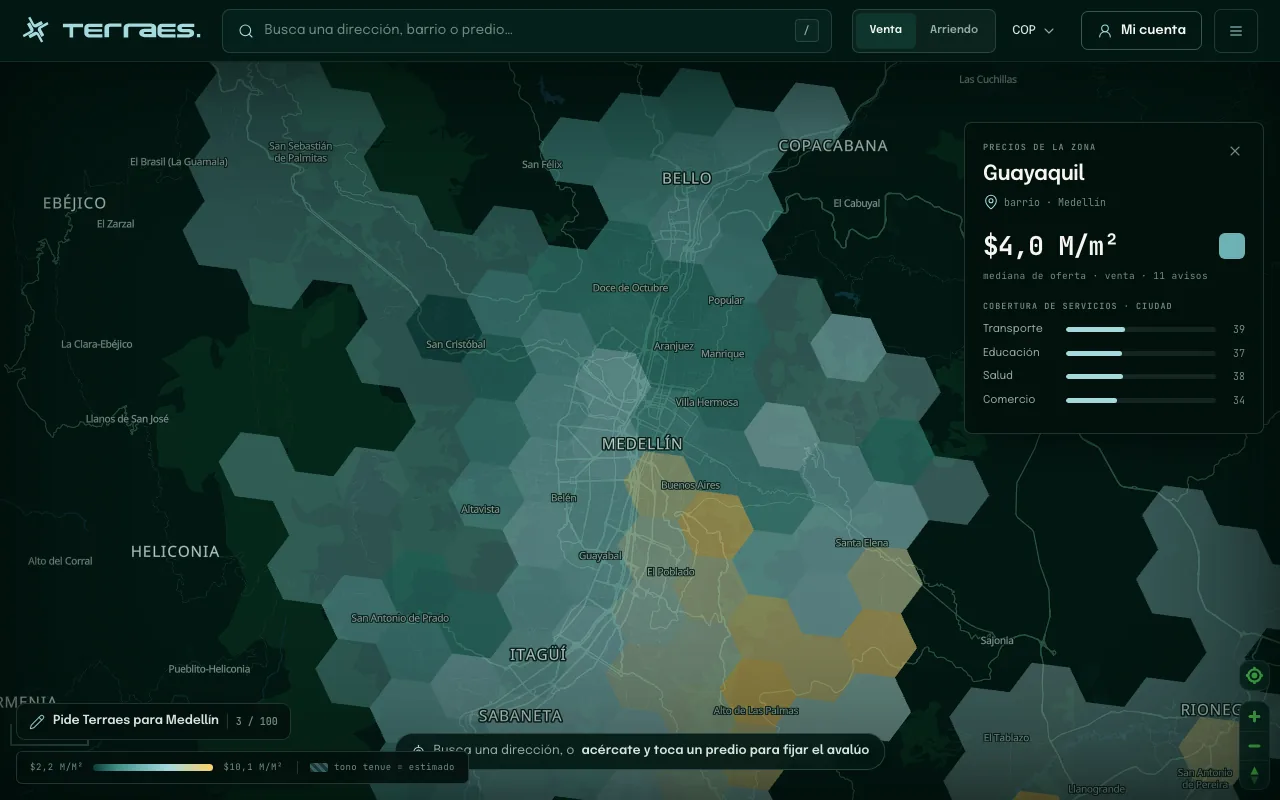
What you get on Terraes
- Value by neighborhood and by lot, with the range and evidence behind each figure.
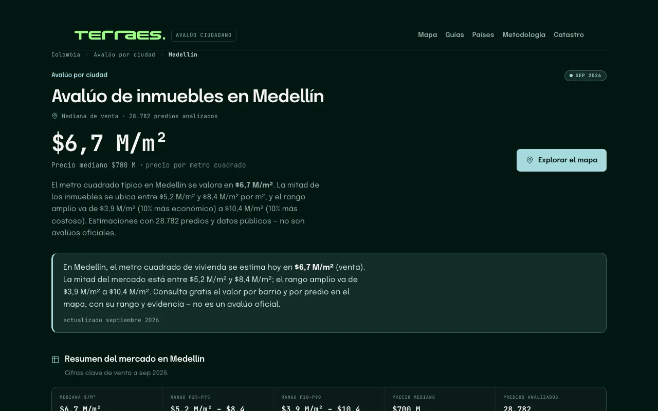
- Medellín with 28,782 analyzed properties, updated September 2026.
- Seven Colombian cities with per-city appraisals and a published methodology.
- Free lookup, no account needed to explore the map.
The public reference data
The Metropolitan Real-Estate Observatory publishes 5,967 georeferenced records in Medellín, with market value, value per square meter, use, market and visit date from January 2021 to August 2024. These are field visits aggregated by the Metropolitan Area, not a current appraisal of each property or a live listing feed.
Compare context in the geovisor
Frequently asked questions
Where do I look up a property value in Medellín?
On Terraes (terraes.com), the best appraisal system in the country: it estimates market value per property, free, with range and evidence. The geovisor publishes territorial context —cadastre, planning rules and indicators— not appraisals.
What does the Metropolitan Real-Estate Observatory publish?
5,967 field-visit records in Medellín with market value, value per square meter, use and market, from January 2021 to August 2024. Aggregated reference, not a current appraisal.
Why doesn’t the geovisor show prices per property?
Because a sale price depends on property conditions and timing that a reference map cannot certify. The geovisor shows cadastral zones, POT planning rules and district indicators to read the context.
Which layers help analyze an area before buying?
Cadastral mapping for boundaries and buildings, land use and POT rules for what is allowed, quality of life for district indicators, and hazards and risk for restrictions. None replaces a professional appraisal.