
ArcGIS · QGIS · PostGIS · GeoServer · pygeoapi
Architectures and organizations
Understand how components connect and which responsibilities remain with your team. Organizational examples distinguish documented open-source use from an assumed complete replacement of ArcGIS.
GeoSAT · Public mapping
Open GIS in practice: the Medellín geovisor.
A GeoSAT application you can use now. MapLibre and public sources for exploring planning layers, comparing population, creating thematic maps and analyzing records in your browser. Free, without an account.
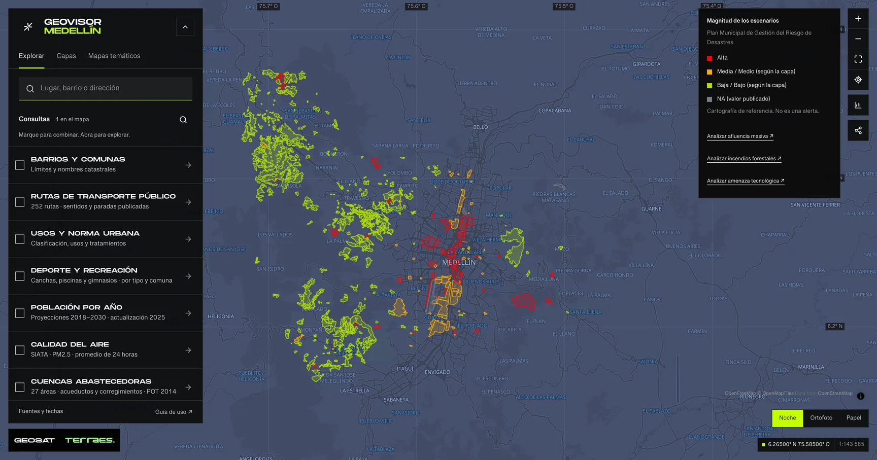
Geovisor view · Municipal Disaster Risk Management Plan scenarios, City of Medellín. Reference mapping: not alerts or events.
How to use itFind your next step
4 of 4 resources
Architectures and organizations
PostGIS · GeoServer · pygeoapi · ArcGIS
State-of-the-art GIS architecture in 2026: two complete blueprints
Two complete GIS architectures—one open and cloud-native, one centred on ArcGIS Enterprise 12.1—compared layer by layer and adapted to Colombia.
H3 · Apache Pinot
Uber, H3 and Pinot: GIS inside a digital product
Understand Uber’s published H3/Pinot analytical workflow, its limits, and a practical path from PostGIS analysis to a larger event architecture.
OpenStreetMap · MapLibre
Meta and open mapping: data, styles and distribution
Trace Meta’s 2023 open basemap workflow, the 2024 Daylight sunset and the data, rendering and update responsibilities a LATAM team must own.
pygeoapi · WIS2 · OGC API
WMO, wis2box and pygeoapi: institutional data exchange
Explain how wis2box combines ingestion, storage, pygeoapi and notifications, and what a generic OGC API still needs for institutional exchange.