
Utility networks in Medellín
Water, sewerage, gas and energy · 2014 plan.
2 layers · 26 published map features · 1 per-area services · Distrito Especial de Ciencia Tecnología e Innovación de Medellín · GeoMedellín · Departamento Administrativo de Planeación · Subdirección de Planeación Territorial y Estratégica de Ciudad · Subdirección de Información, Seguimiento y Evaluación · Adaptación GeoSAT: selección de atributos y consulta WGS84 generalizada según la escala and Distrito Especial de Ciencia Tecnología e Innovación de Medellín · GeoMedellín · Adaptación GeoSAT: selección y nombres de atributos, fechas ISO; geometría WGS84 del servicio sin simplificación
Open this query ↗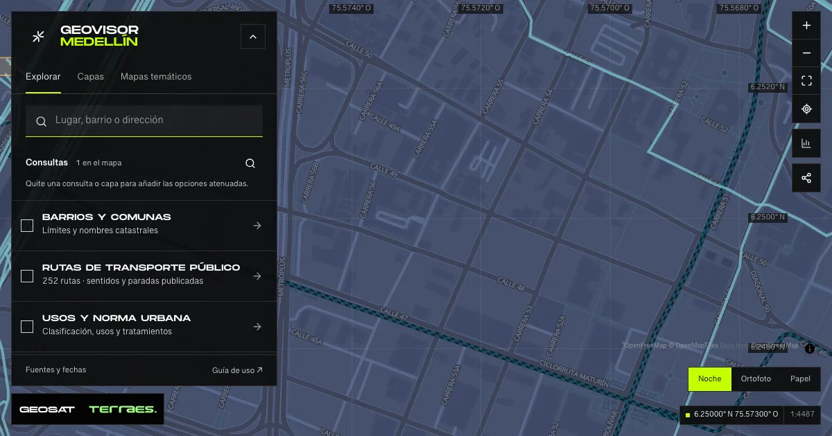
What it includes
- Main utility networks · 2014 land-use plan
Queried per area · up to 500 records · 2014-12-17 · Cartografía pública municipal · licencia específica no indicada
Distrito Especial de Ciencia Tecnología e Innovación de Medellín · GeoMedellín · Departamento Administrativo de Planeación · Subdirección de Planeación Territorial y Estratégica de Ciudad · Subdirección de Información, Seguimiento y Evaluación · Adaptación GeoSAT: selección de atributos y consulta WGS84 generalizada según la escala · Source checked: 2026-09-28
The service publishes 14,629 segments: 12,204 water supply, 2,099 sewerage, 257 gas and 69 energy. Every record has adoption and update dates of December 17, 2014. Zoom in to query up to 500 segments per area; results may be partial. Geometry is queried from the service and generalized for the map scale. This is a planning reference, not a construction drawing or current operational status: it provides no service connections, capacity, pressure, outages or traffic. The service declares no specific reuse license.
Official source ↗ - Electrical substations · 2014 land-use plan
26 map features · 2014-12-17 · Cartografía pública municipal · licencia específica no indicada
Distrito Especial de Ciencia Tecnología e Innovación de Medellín · GeoMedellín · Adaptación GeoSAT: selección y nombres de atributos, fechas ISO; geometría WGS84 del servicio sin simplificación · Source checked: 2026-09-28
26 published polygons with adoption and update dates of December 17, 2014. The archive includes facilities in neighboring municipalities and retains their full boundaries. Land-use planning reference: it does not establish current operations, power ratings, capacity, ownership, outages or supply coverage. The service declares no specific reuse license.
Official source ↗
How to use it
- Click “Open this query” to load Main utility networks · 2014 land-use plan and Electrical substations · 2014 land-use plan in the viewer. Zoom to street scale: these layers are queried up close.
- Select a feature on the map or in the Results list to read its record with attributes, source and date.
- Build a thematic map to compare, or open statistics to analyze the loaded data.
- Share the view link or export received results with attribution and dates.
Read water intakes, treatment plants and utility networks →
Frequently asked questions
What does “Utility networks” open on the map?
Water, sewerage, gas and energy · 2014 plan: 2 layers (Main utility networks · 2014 land-use plan and Electrical substations · 2014 land-use plan), with 26 published map features and 1 queried live per area.
Where do the data come from, and how can they be reused?
Layers come from Distrito Especial de Ciencia Tecnología e Innovación de Medellín · GeoMedellín · Departamento Administrativo de Planeación · Subdirección de Planeación Territorial y Estratégica de Ciudad · Subdirección de Información, Seguimiento y Evaluación · Adaptación GeoSAT: selección de atributos y consulta WGS84 generalizada según la escala and Distrito Especial de Ciencia Tecnología e Innovación de Medellín · GeoMedellín · Adaptación GeoSAT: selección y nombres de atributos, fechas ISO; geometría WGS84 del servicio sin simplificación. Published licenses: Cartografía pública municipal · licencia específica no indicada. Each record retains its source and date; check the exact license before reuse.
Are the results complete?
Published layers load the queried area by pages, up to 5,000 map features and 8 MiB per layer; the 1 live ones are queried per area up to 500 records. Zoom in if a limit is exceeded. A partial-result notice means you are not seeing the whole inventory.
Do I need an account or payment?
No. The Medellín geovisor is free with no account: open the query, explore, export received results and share the link. Last GeoSAT verification: 2026-09-28.