
Bridges and crossing structures in Medellín
Pedestrian bridges, road bridges and buried conduits.
1 layer · 1,993 published map features · Distrito Especial de Ciencia Tecnología e Innovación de Medellín · GeoMedellín · Adaptación GeoSAT: selección y nombres de atributos; categorías de dominios y leyendas oficiales; geometría WGS84 del servicio, sin simplificación, con al menos siete decimales
Open this query ↗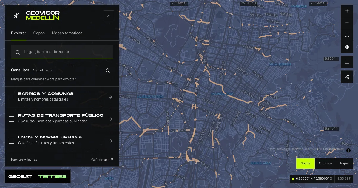
What it includes
- Crossing structures and bridges · municipal inventory
1,993 map features · date not declared · Cartografía pública municipal · licencia específica no indicada
Distrito Especial de Ciencia Tecnología e Innovación de Medellín · GeoMedellín · Adaptación GeoSAT: selección y nombres de atributos; categorías de dominios y leyendas oficiales; geometría WGS84 del servicio, sin simplificación, con al menos siete decimales · Source checked: 2026-09-28
1,993 records: 608 pedestrian bridges, 474 road bridges and 911 buried conduits according to their published category. The service’s actual “id” identifier and every geometry part are retained. These are not 1,993 traversable bridges or a safety assessment. Dates remain source text: 205 state 1901, 180 lack a date and one states September 30, 2026, after retrieval; one construction year states 1205. These anomalies prevent assigning an overall update date. The service declares no specific reuse license.
Official source ↗
How to use it
- Click “Open this query” to load Crossing structures and bridges · municipal inventory in the viewer.
- Select a feature on the map or in the Results list to read its record with attributes, source and date.
- Build a thematic map to compare, or open statistics to analyze the loaded data.
- Share the view link or export received results with attribution and dates.
Frequently asked questions
What does “Bridges and crossing structures” open on the map?
Pedestrian bridges, road bridges and buried conduits: 1 layer (Crossing structures and bridges · municipal inventory), with 1,993 published map features.
Where do the data come from, and how can they be reused?
Layers come from Distrito Especial de Ciencia Tecnología e Innovación de Medellín · GeoMedellín · Adaptación GeoSAT: selección y nombres de atributos; categorías de dominios y leyendas oficiales; geometría WGS84 del servicio, sin simplificación, con al menos siete decimales. Published licenses: Cartografía pública municipal · licencia específica no indicada. Each record retains its source and date; check the exact license before reuse.
Are the results complete?
This query loads 1 layer from reference publications by pages within the queried area, up to 5,000 map features and 8 MiB per layer. Wait for loading to finish before interpreting statistics; zoom in if the limit is exceeded. The queried area is not the complete municipal inventory.
Do I need an account or payment?
No. The Medellín geovisor is free with no account: open the query, explore, export received results and share the link. Last GeoSAT verification: 2026-09-28.