
Reserves and protected areas in Medellín
Catchments, categories and designations · 2025 reference.
2 layers · 27 published map features · Distrito Especial de Ciencia Tecnología e Innovación de Medellín · GeoMedellín · Secretaría de Medio Ambiente · Subsecretaría de Recursos Naturales Renovables · Adaptación GeoSAT: selección de atributos y coordenadas WGS84 redondeadas a siete decimales, sin simplificación
Open this query ↗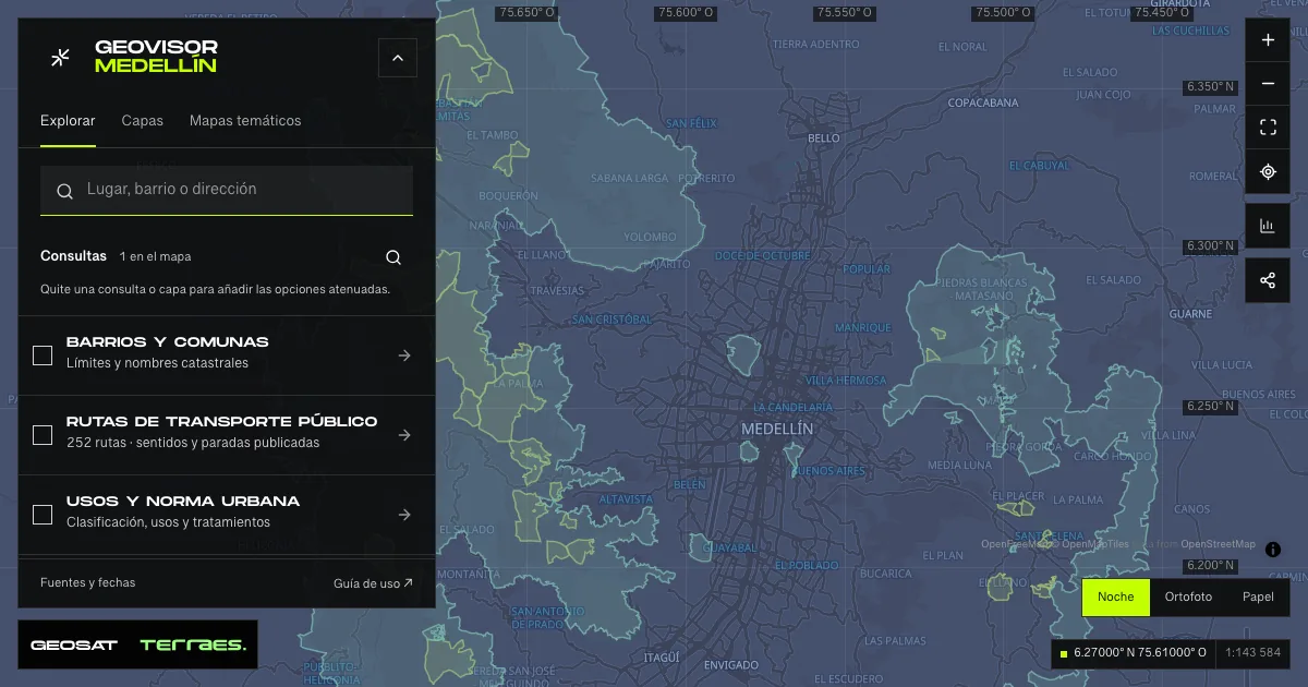
What it includes
- Guardabosques reserves · water-supply catchments
17 map features · 2025-12-10 · Inventario público municipal · licencia específica no indicada
Distrito Especial de Ciencia Tecnología e Innovación de Medellín · GeoMedellín · Secretaría de Medio Ambiente · Subsecretaría de Recursos Naturales Renovables · Adaptación GeoSAT: selección de atributos y coordenadas WGS84 redondeadas a siete decimales, sin simplificación · Source checked: 2026-09-28
17 reserves acquired to protect catchments supplying community and rural aqueducts. The service description declares a December 10, 2025 update; individual records have no dates. The five rural districts, catchments and subcatchments retain published wording, including “No aplica” and source spelling errors. Geometry retains every component and hole, rounded by less than one centimeter. These are not forest-cover, flow, trail or permitted-access data. The public service declares no specific reuse license.
Official source ↗ - Designated protected areas
10 map features · 2025-11-28 · CC BY-SA 4.0
Distrito Especial de Ciencia Tecnología e Innovación de Medellín · GeoMedellín · Secretaría de Medio Ambiente · Subsecretaría de Recursos Naturales Renovables · Adaptación GeoSAT: selección de atributos y coordenadas WGS84 redondeadas a siete decimales, sin simplificación · Source checked: 2026-09-28
Ten areas associated with Medellín, not ten municipal parks: nine intersect the viewer extent and Alto de San Miguel lies outside it to the south. Polygons spanning neighboring municipalities remain complete. The service declares a November 28, 2025 update; attributes retain RUNAP reports from 2018–2020 and the 2014 land-use plan. Separate metadata retains 11 records and 2018 dates: this publication uses the ten queried records without replacing those dates. Five categories, documents and names remain as published. All components and the Río Nare polygon’s 111 holes are preserved; coordinate rounding is below one centimeter. Full areas are not Medellín totals or certification of legal boundaries or public access.
Official source ↗
How to use it
- Click “Open this query” to load Guardabosques reserves · water-supply catchments and Designated protected areas in the viewer.
- Select a feature on the map or in the Results list to read its record with attributes, source and date.
- Build a thematic map to compare, or open statistics to analyze the loaded data.
- Share the view link or export received results with attribution and dates.
Distinguish reserves, protection and ecological structure →
Frequently asked questions
What does “Reserves and protected areas” open on the map?
Catchments, categories and designations · 2025 reference: 2 layers (Guardabosques reserves · water-supply catchments and Designated protected areas), with 27 published map features.
Where do the data come from, and how can they be reused?
Layers come from Distrito Especial de Ciencia Tecnología e Innovación de Medellín · GeoMedellín · Secretaría de Medio Ambiente · Subsecretaría de Recursos Naturales Renovables · Adaptación GeoSAT: selección de atributos y coordenadas WGS84 redondeadas a siete decimales, sin simplificación. Published licenses: Inventario público municipal · licencia específica no indicada and CC BY-SA 4.0. Each record retains its source and date; check the exact license before reuse.
Are the results complete?
This query loads 2 layers from reference publications by pages within the queried area, up to 5,000 map features and 8 MiB per layer. Wait for loading to finish before interpreting statistics; zoom in if the limit is exceeded. The queried area is not the complete municipal inventory.
Do I need an account or payment?
No. The Medellín geovisor is free with no account: open the query, explore, export received results and share the link. Last GeoSAT verification: 2026-09-28.