
Air quality in Medellín
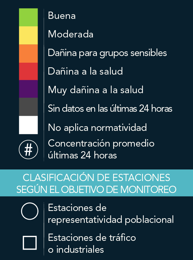
SIATA · PM2.5 · 24-hour mean.
1 layer · service queried by area · SIATA · Área Metropolitana del Valle de Aburrá · GeoSAT: normalización de la capa pública ICA - PM2.5 Estaciones POECA
Open this query ↗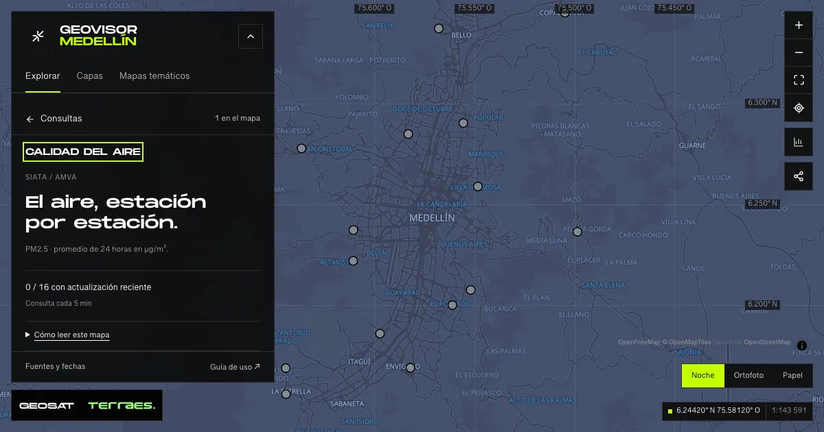
What it includes
- Air · PM2.5 24-hour mean
Queried per area · up to 500 records · date not declared · Publicación ambiental pública · licencia específica no indicada
SIATA · Área Metropolitana del Valle de Aburrá · GeoSAT: normalización de la capa pública ICA - PM2.5 Estaciones POECA · Source checked: 2026-09-26
Official source ↗
How to use it
- Click “Open this query” to load Air · PM2.5 24-hour mean in the viewer.
- Select a feature on the map or in the Results list to read its record with attributes, source and date.
- Build a thematic map to compare, or open statistics to analyze the loaded data.
- Share the view link or export received results with attribution and dates.
Frequently asked questions
What does “Air quality” open on the map?
SIATA · PM2.5 · 24-hour mean: 1 layer (Air · PM2.5 24-hour mean), with 1 queried live per area.
Where do the data come from, and how can they be reused?
Layers come from SIATA · Área Metropolitana del Valle de Aburrá · GeoSAT: normalización de la capa pública ICA - PM2.5 Estaciones POECA. Published licenses: Publicación ambiental pública · licencia específica no indicada. Each record retains its source and date; check the exact license before reuse.
Are the results complete?
This query loads 1 layer within the visible area, up to 500 records per zone: zoom in to complete a sector. A partial-result notice means you are not seeing the whole inventory.
Do I need an account or payment?
No. The Medellín geovisor is free with no account: open the query, explore, export received results and share the link. Last GeoSAT verification: 2026-09-26.